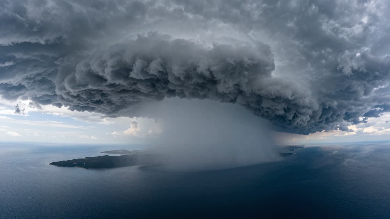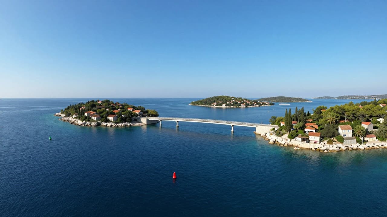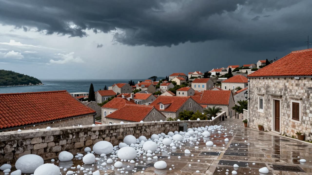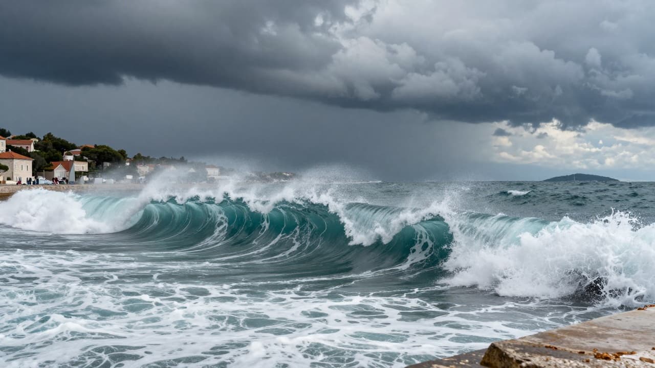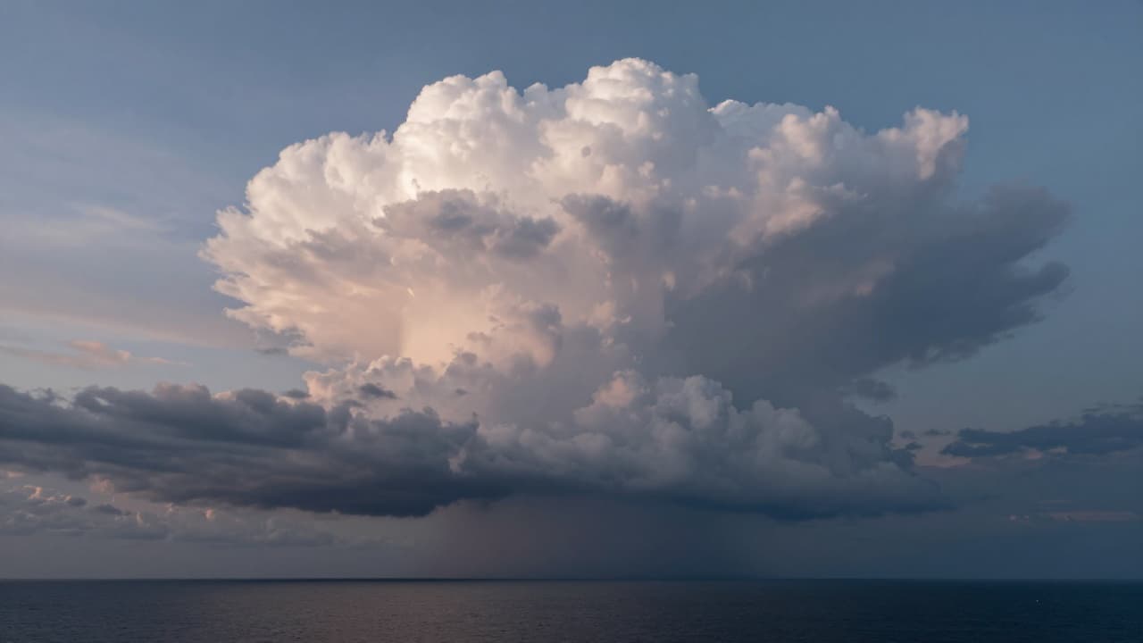
Photographer and weather enthusiast Daniel Pavlinović captured dramatic scenes of a storm cell using a drone. The footage was taken while the meteorological phenomenon occurred near the Dubrovnik coast, specifically slightly south of the city of Dubrovnik.
The main meteorological activity took place in the middle of the Adriatic, where extremely intense cumulonimbus cells formed. These formations moved from the northwest across open sea towards the southeast, creating conditions for high radar reflectivity.
According to observations, the height of these clouds reached 12 kilometres. Such altitude indicates significant atmospheric activity in the area.
Daniel Pavlinović went to Srđ hill last night to await the arrival of the front. From this position, he had a clear view of the system's movement, which enabled him to record detailed footage as the storm developed over the sea.