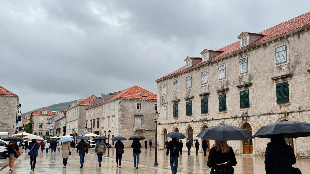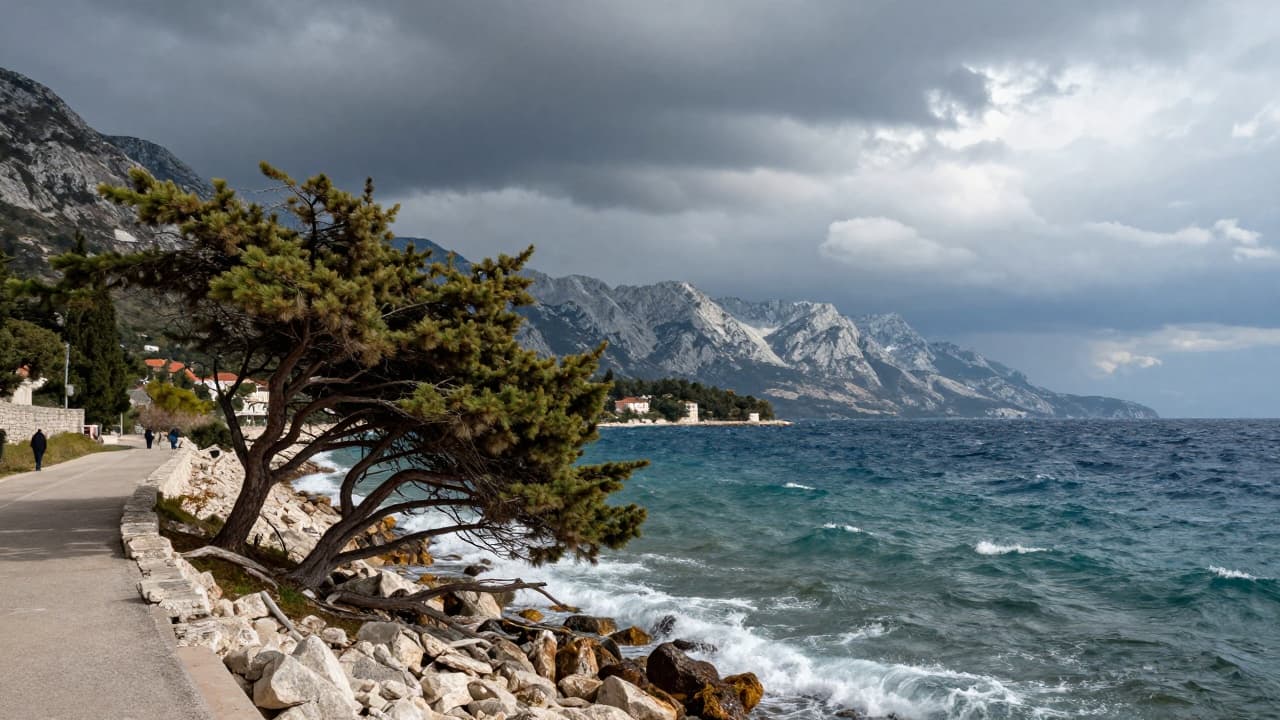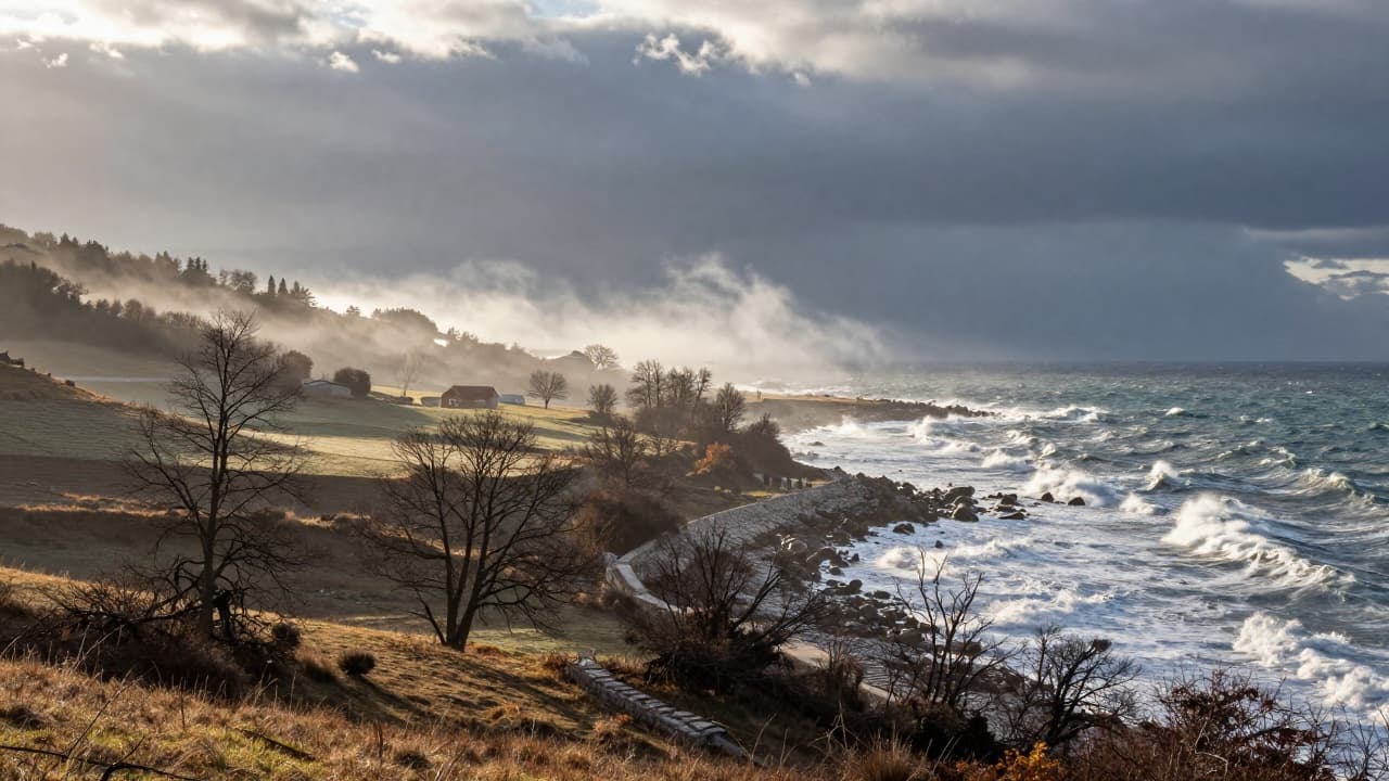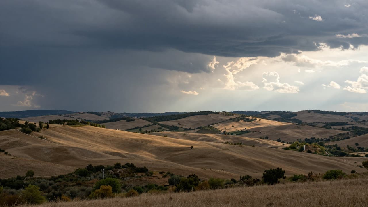
Changeable and windy weather will mark Thursday across Croatia, with the most turbulent conditions expected in the second half of the day, reported the Croatian Meteorological and Hydrological Service (DHMZ).
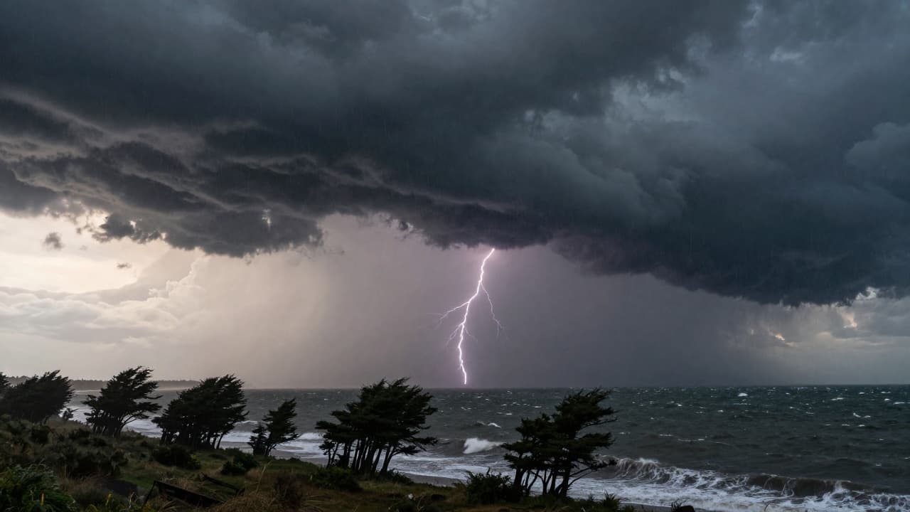
After morning fog in places in the interior, moderate to predominantly cloudy weather will prevail with occasional rain. Precipitation will be more frequent in the afternoon, and locally heavier showers accompanied by thunder are possible. The eastern part of the country will remain the driest.
The maximum daily air temperature will range from 12 to 17 °C, while in the south it will reach 20 degrees Celsius. In Dalmatia, daily temperatures will range between 16 and 20 °C, while it will be somewhat cooler in the Dalmatian hinterland.
A weak and moderate southerly and south-easterly wind will blow, strong in the mountains. During the afternoon and evening, the wind will suddenly turn to a temporarily strong south-westerly, westerly and north-westerly with gale-force gusts. The sudden change in wind begins first in the northern Adriatic, then in the interior and Dalmatia.
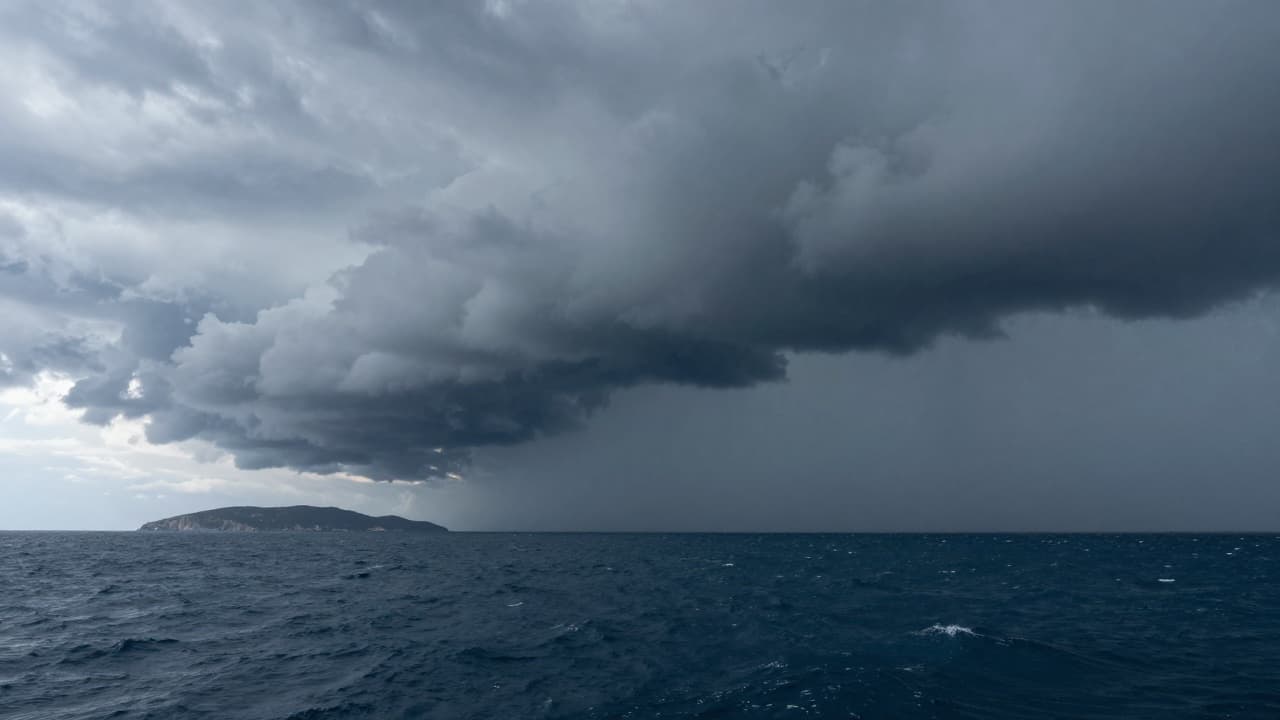
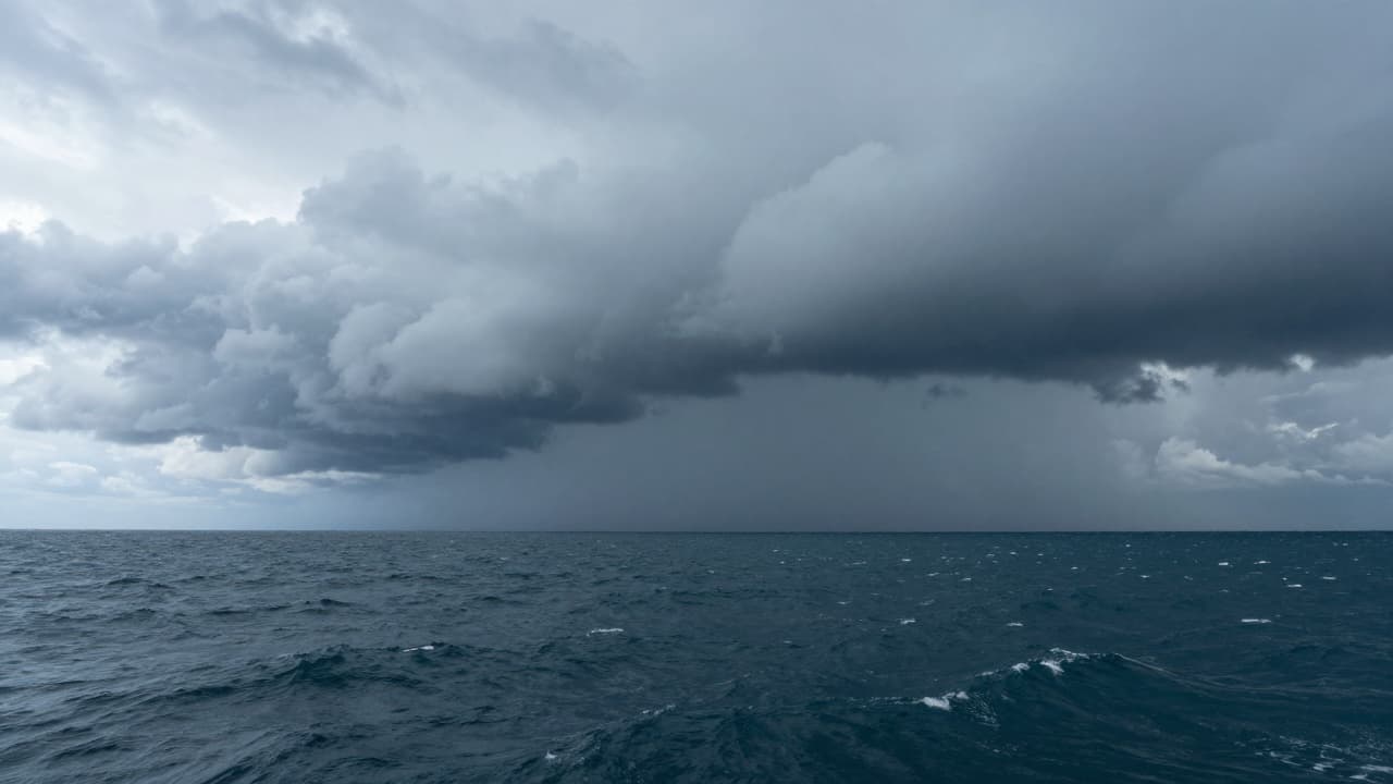
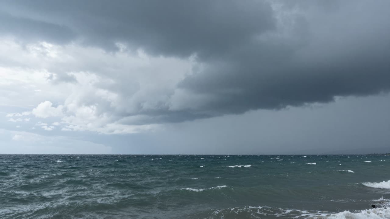
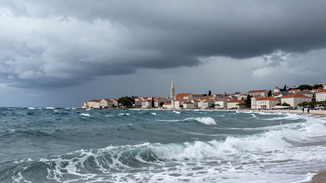
The movement of a cyclone with a frontal disturbance across the Adriatic brings extremely unstable weather along the entire coast. According to the DHMZ forecast for mariners, the south and south-westerly wind will strengthen from the morning to strong to gale. Wind gusts in the northern and southern Adriatic midday can reach up to 55 knots (around 100 km/h). In the afternoon, a sudden turn to a strong and very strong north-westerly follows.
The sea will be moderately rough and rough, and in the second half of the day rougher at sea (sea state 5). There is an increased probability of local thunderstorms and thunder showers.
Already in the evening hours, precipitation is expected to cease along the coast and cloud cover to gradually decrease, and during the night this will extend to the rest of the country.