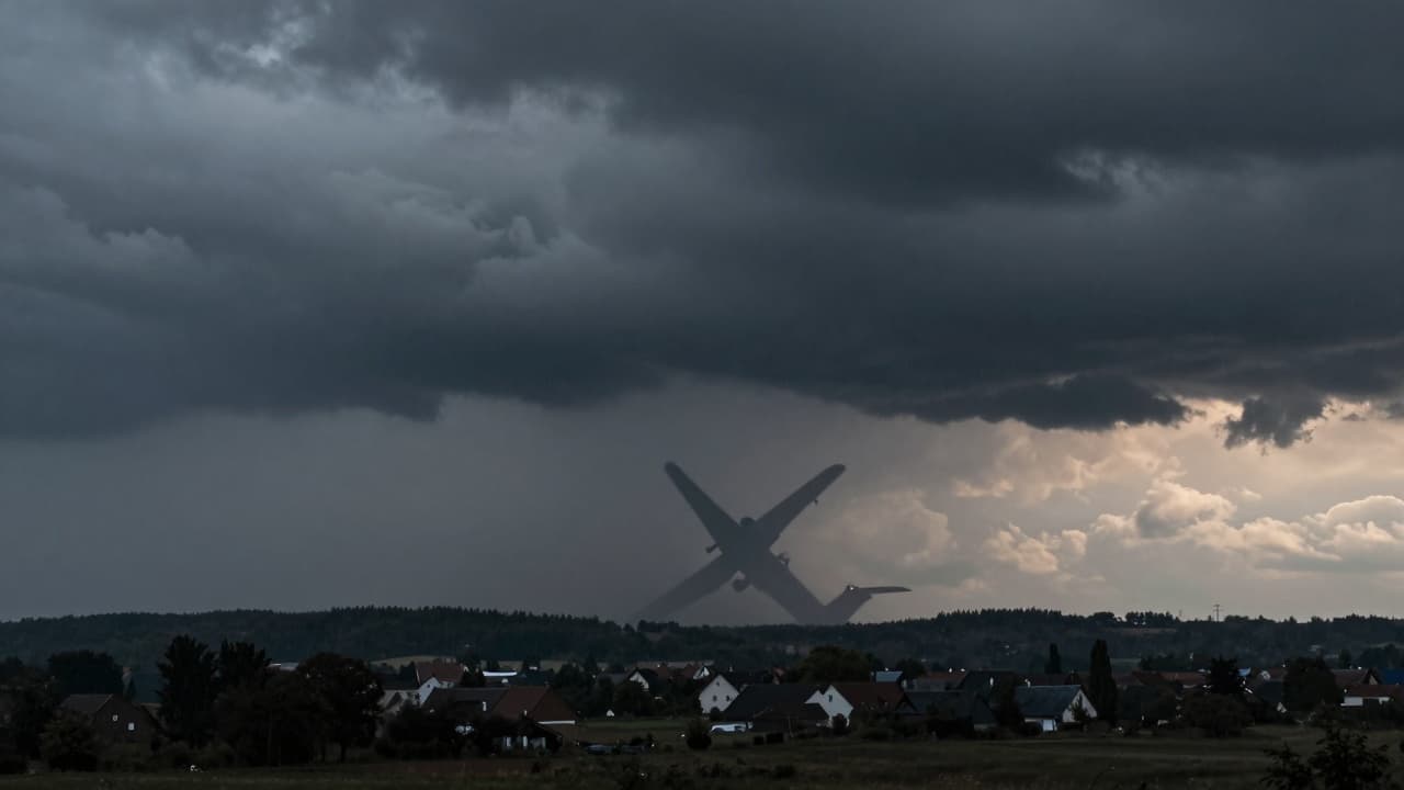
After a prolonged period of extreme heat and drought, a cold front is finally approaching. This atmospheric disturbance brings significant changes to the weather, introducing frequent showers, rain, and thunder that characterise the coming period. Special attention is drawn to the fact that in some areas, particularly along the northern part of the Croatian coast, heavier showers are expected, indicating a temporary worsening of conditions before the situation stabilises.
Due to the adverse weather, a weather alert has been activated for much of the country. The situation is particularly concerning in the Rijeka region, where an orange alert is in place, signalling a high level of danger. In these conditions, localised heavy showers, accompanied by thunder and strong wind gusts, are expected, requiring caution from all road users and those engaging in outdoor activities.
Given that the workshop is located inland, where northerly and north-westerly winds are generally moderate, local instability with gusty winds is a common occurrence. On the coast, where the wind is light to moderate, the situation is more complex. The wind, which is southerly, turns to the south-west during the day, and in the evening, temporarily to the north-west, with localised gusts, further complicating the forecast for the coastal area.
In the first few days, the highest daily temperatures range between 28 and 33 degrees Celsius. Although the heat persists, the arrival of the cold front is expected to bring a gradual cooling, particularly on land where daytime temperatures will be slightly lower. During the night and in the early morning, with localised showers, a further cooling is expected, bringing a change from the usual heat but also the risk of sudden weather disturbances.