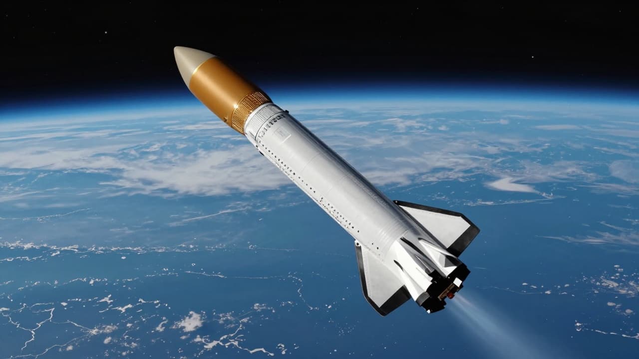
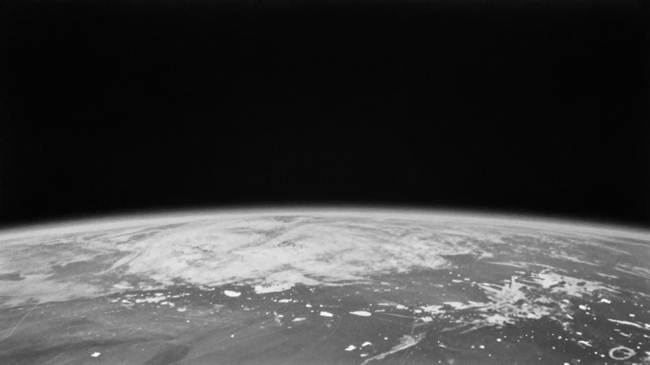
The first photograph of Earth taken from space was captured on 24 October 1946, a year and a half after the end of the Second World War. On that day, a captured and modified German V-2 rocket was launched from a missile range in New Mexico as part of a US military programme.
The rocket was equipped with a film camera and reached an altitude of approximately 105km. This height is above the boundary now considered the edge of space — the Kármán line. A 35mm film camera, installed by the U.S. Army Signal Corps, was mounted on the rocket and recorded two frames per second.
After the rocket crashed to Earth, the film was recovered and developed. The result was a black-and-white photograph showing the curvature of the planet — the first view of Earth from space. The image was neither sharp nor in colour.
The project was the work of a group of American scientists and engineers who utilised captured German V-2 rocket technology. The launch was conducted from the White Sands Missile Range. Until then, the highest images of Earth had been taken from balloons at altitudes of around 22km.
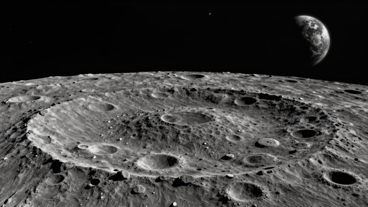
The 1946 footage opened a completely new chapter — a view of our world from space. This pioneering moment is now considered one of the significant steps that heralded the era of space exploration, and a decade later, the race to the Moon.