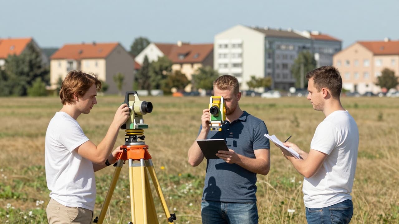
A cadastral survey of part of the Prelog cadastral municipality is set to begin soon, conducted by the State Geodetic Administration (Državna geodetska uprava) in cooperation with the City of Prelog. The survey covers approximately 4,200 cadastral parcels and 4,000 buildings, with works to be carried out by the Čakovec-based company GEO-GAUSS.
The project was presented at a press conference attended by Mayor Ljubomir Kolarek, Dejan Blažeka, head of the Cadastral Office Čakovec, Zlatko Horvat from the Prelog Real Estate Cadastre Department, Miljenka Radović, head of the Administrative Department for Administration and Social Affairs, and Jeronim Moharić and Karlo Čosić from GEO-GAUSS.
The survey covers the areas of Prelog and Otok, primarily residential and business zones, along with a smaller portion of agricultural land. Mayor Kolarek highlighted the possibility of expanding the scope to additional urban areas, particularly industrial and residential zones, as well as part of the agricultural land. He stated that property rights relationships would finally be resolved and boundaries determined, free of charge for citizens. He added that Prelog had not taken advantage of a similar opportunity in 1994.
Preparatory fieldwork is expected to begin as early as next week, when surveying teams will head out into the field. The deadline for completing the project is 15 months. Kolarek emphasised that resolving property rights relationships would be one of the more demanding parts of the process. Property owners will be notified of the procedure in writing, and invitations for two key phases – the field survey and the presentation of data – will also be sent in writing.
Surveys have already been carried out in Šenkovec, Mihovljan, Macinec, Mačkovac and Zasadbreg, while the survey in Strahoninec has been completed and the one in Lopatinac is still ongoing. Prelog is next in line. The goal is to produce a new survey document, precise maps and a draft land register extract.