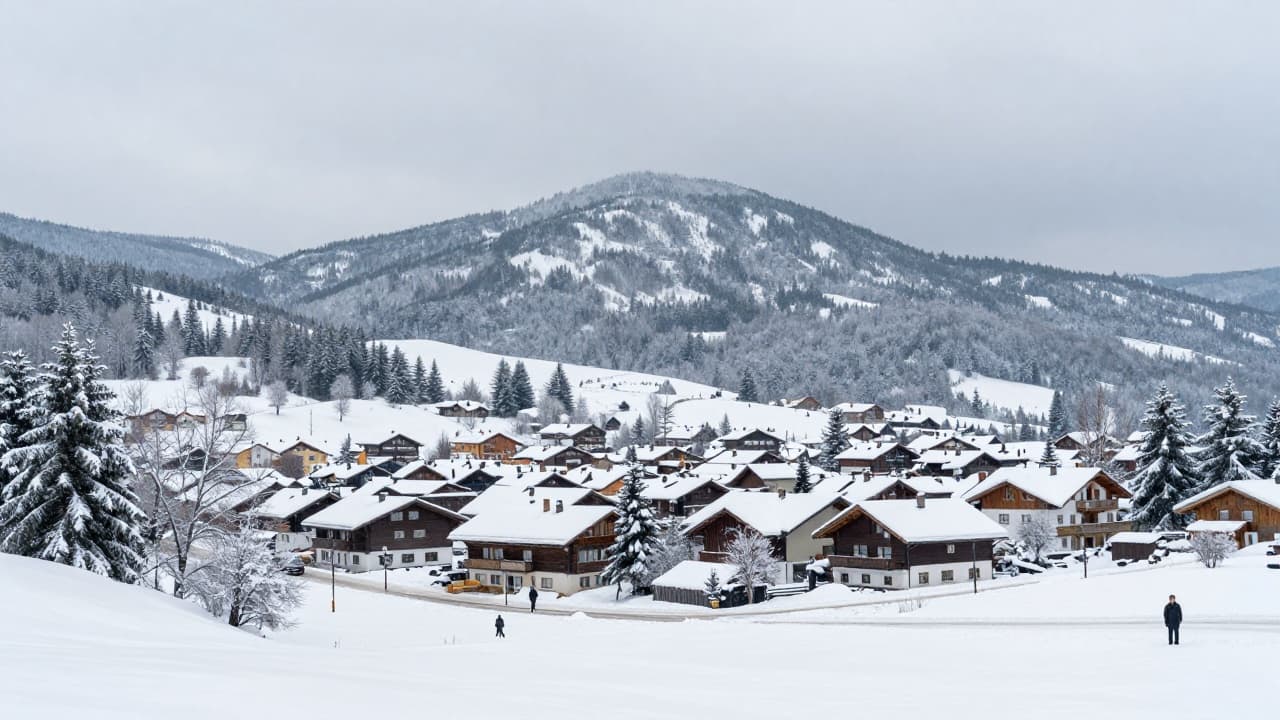
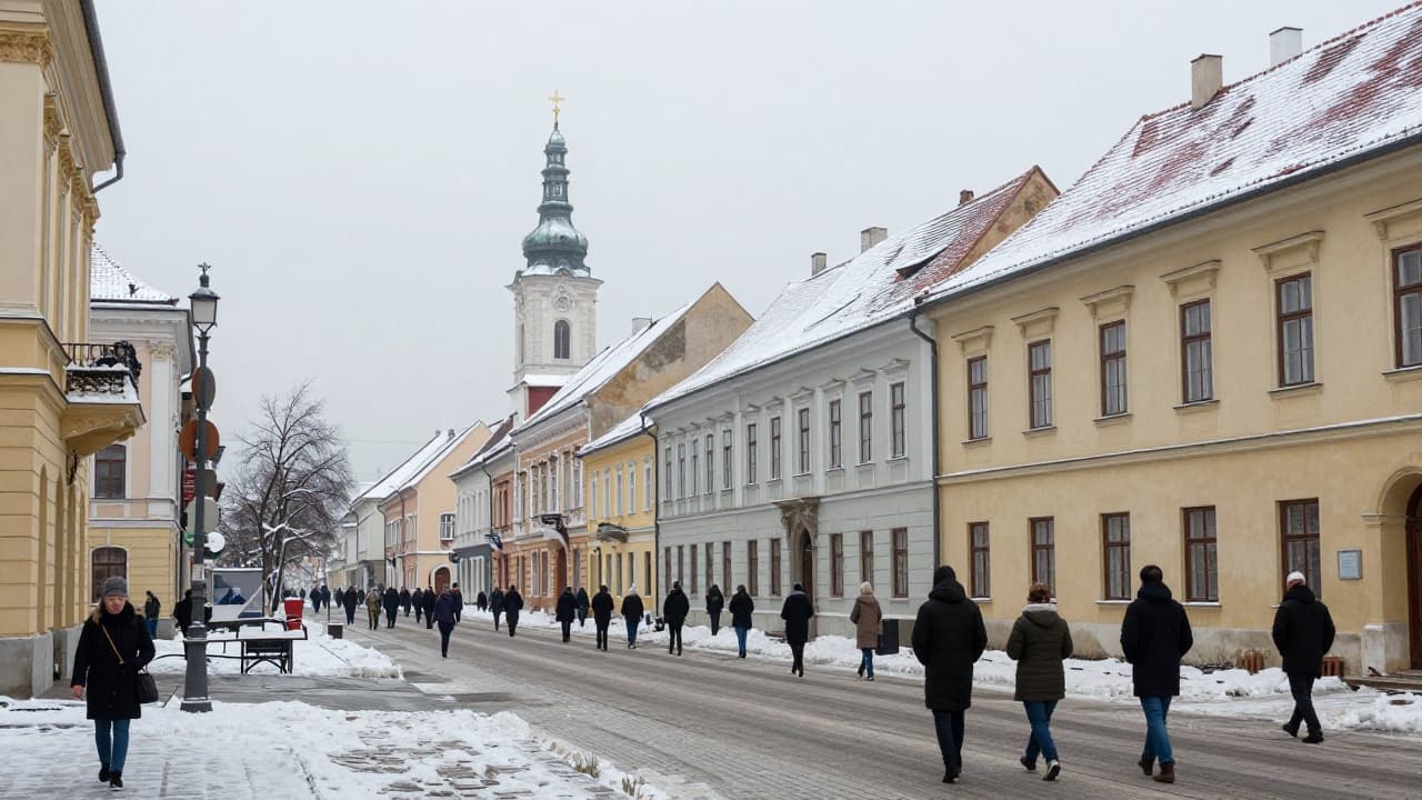
Following unusually warm weather for November, Croatia could experience a significant change in weather conditions from the end of the week. Temperatures will drop, morning frosts will return, and certain forecast models indicate the possibility of snow in Zagreb.
Meteorologist Dorian Ribarić of RTL warns that the scenario of snow in Zagreb remains highly uncertain. He stated that snow in Zagreb next week is currently just one of the possibilities, but by no means a scenario that can be announced with greater certainty. He clarified that forecasts made six or seven days in advance can be quite unreliable, especially when based on a single meteorological model calculation.
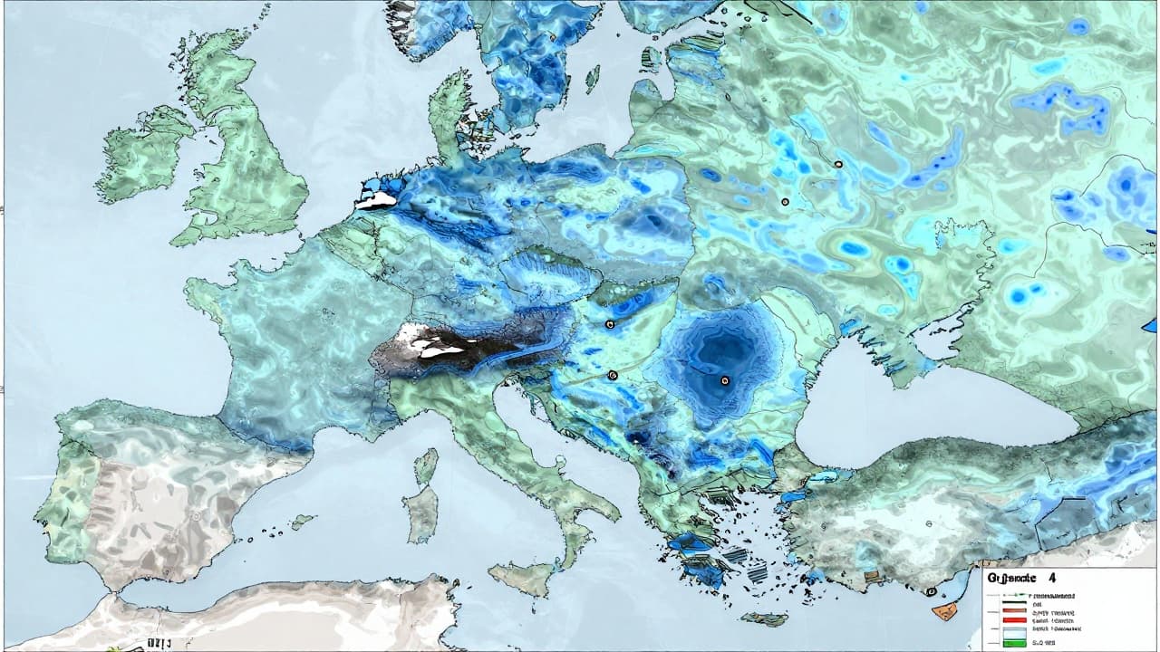
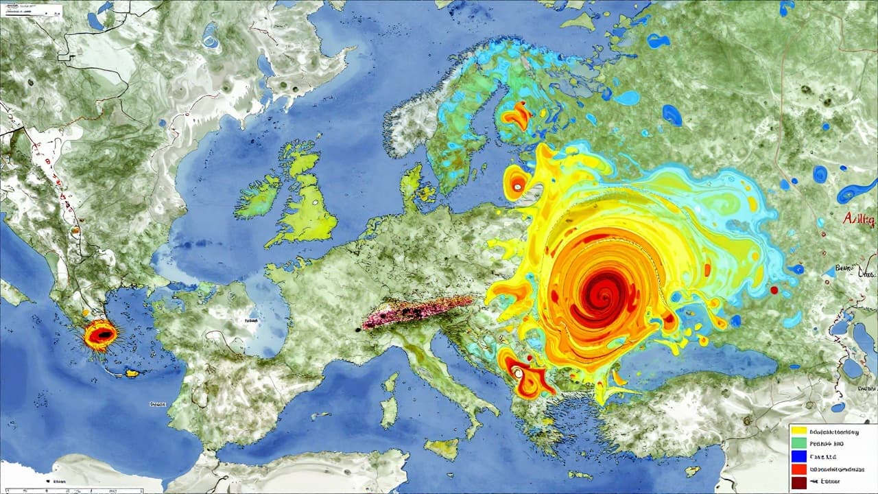
In this case, the model in question is ECMWF, whose data is also used by the popular Norwegian service. Ribarić explained that such a calculation may show snow, but it represents only one possible evolution of the atmosphere. Therefore, meteorologists compare the results of different models and monitor how closely their calculations align to assess the reliability of the forecast. Ensemble forecasts, which display various possible scenarios for weather development, also play a crucial role.
Ribarić said that various models are taken into account, along with their consistency from one calculation to another, and ensemble forecasts showing how well different scenarios agree with each other. The greater the differences between models, the lower the reliability of the forecast. According to current indicators, the weather during the coming week remains difficult to predict precisely.
The arrival of colder air from Sunday is significantly more likely. Ribarić stated that it is certain that somewhat colder air is arriving from Sunday. After a very warm part of November, temperatures will be significantly lower, morning frosts will return in some places, and primarily in higher areas, rain may briefly turn into sleet and snow.
A drop in temperature and the possibility of snow in higher regions do not automatically mean that snowflakes will appear in Zagreb, let alone that a snow cover will form there. Ribarić explained that for snow at low altitude, precipitation and sufficiently cold air through the appropriate layer of the atmosphere must coincide simultaneously, the ground must also be sufficiently cold, and several other key ingredients are needed for that 'successful' snow recipe.
Ribarić conveyed that snow in Zagreb should not be entirely ruled out for now, but it can only be announced as a possibility to monitor, rather than an expected event. A more reliable picture of weather conditions is expected only as the next week approaches, when it will become clearer whether other meteorological models will confirm the possibility of snow.
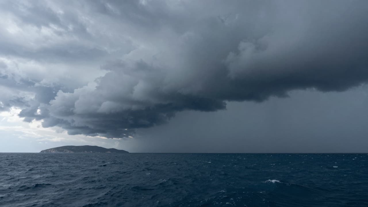
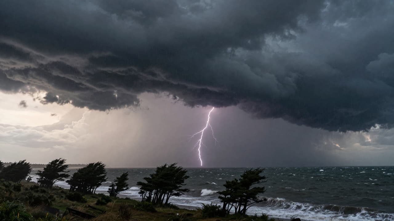
Ribarić warns that attention should be directed towards the weather conditions expected today and during the coming days. Rain is expected today, locally heavy, with the possibility of urban flooding, as well as strong and stormy winds. After a brief lull in the weather on Friday, a new, more pronounced deterioration is forecast for Sunday.