
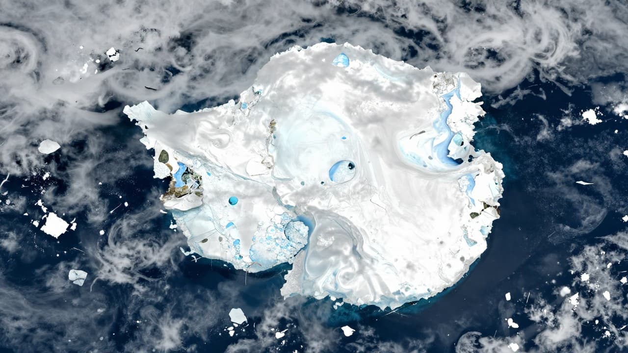
The image of part of West Antarctica was captured on 30 September 2026 by the Copernicus Sentinel-3 satellite, the European Space Agency (ESA) reported. At this time of year, winter is approaching its end in the southern hemisphere, so sea ice is at its annual maximum extent.
Sea ice reaches as far as the tip of the Antarctic Peninsula, visible in the central part of the image, where clouds are also present. The area shown covers approximately 1,200 by 1,700 kilometres and is located on the edge of the Antarctic continent, the main landmass of which has a diameter of about 4,500 kilometres.
On the left side of the image, Elephant Island is clearly visible, measuring about 50 kilometres in length, surrounded by ice-free ocean. The island is approximately 930 kilometres from the tip of Tierra del Fuego, Argentina, which is not shown in the image.
According to the National Snow and Ice Data Center (NSIDC), the sea ice in the Antarctic winter season is likely to have peaked on 14 September 2026. The image shows sea ice covering the tip of the Antarctic Peninsula and part of the Weddell Sea, to the east of the peninsula.
White clouds cover much of the lower part of the image, but sea ice is clearly visible in the upper right area. The diverse textures reflect different types of ice, including areas of packed sea ice on the right side. Large ice floes comparable in size to Elephant Island are visible, transitioning into smaller pieces of sea ice that form swirling patterns in the ocean.