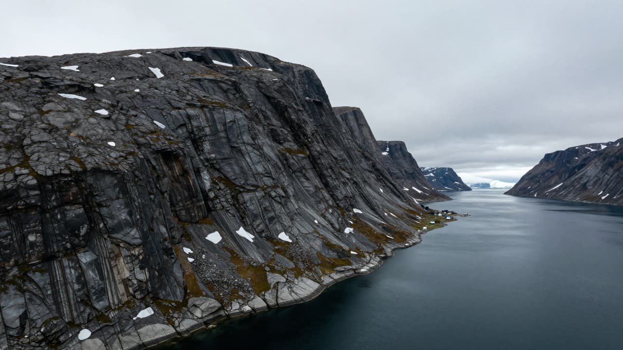
Scientists have identified two unstable mountain slopes in Greenland whose collapse could trigger devastating tsunamis, according to a study published in the journal Communications Earth & Environment. The research was conducted by experts from the Geological Survey of Denmark and Greenland and the Norwegian Geotechnical Institute, who analysed two unstable slopes in the Uummannaq fjord system on the west coast of Greenland.
As a more immediate threat, the researchers highlight the slope in Kangerluarsuk fjord, which contains approximately 30 million cubic metres of unstable material. Prior to 2015, changes on that slope were barely noticeable, but since then its instability has developed rapidly. The authors state that the slope will likely collapse entirely or partially within the next few years or decades, although the exact timing remains highly uncertain.
Computer simulations show that a landslide could trigger a tsunami that would reach the settlement of Ukkusissat, located approximately 25 kilometres away, in just six minutes. Waves there could reach heights of three to seven metres above the normal sea level.
An even larger unstable slope is located in Karrat fjord, just three kilometres west of the site where a catastrophic landslide occurred in 2017. That slope covers an area of 2.65 million square metres, and scientists estimate it contains approximately 400 million cubic metres of unstable material. According to the research, it is one of the largest active unstable mountain slopes mapped in the world to date. Although that slope is moving relatively slowly, scientists do not rule out the possibility of its complete collapse.
The collapse of the entire slope in Karrat fjord could trigger a tsunami that would spread across a large part of the Uummannaq fjord system. The researchers note that such a collapse could trigger a tsunami with waves higher than 10 metres at distances greater than 100 kilometres. Unlike tsunamis caused by earthquakes, these waves are generated when a massive amount of rock and earth suddenly falls into the sea and displaces large volumes of water. In narrow fjords, such waves can reach extreme heights and strike settlements located tens of kilometres from the landslide site.
The danger of such events in Greenland was already demonstrated in 2017, when approximately 58 million cubic metres of rock broke away from Mount Ummiammakku in Karrat fjord. The massive landslide triggered a tsunami that hit nearby settlements, with Nuugaatsiaq suffering the most severe damage. Waves there reached a height of approximately 10 metres. Four people died and nine others were injured. The settlement was abandoned after the disaster and has not been repopulated to this day. That disaster prompted further research into the stability of mountain slopes in western Greenland, during which scientists identified two new dangerous locations.
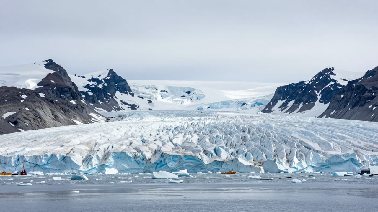
Scientists believe that climate change could further increase the danger of large collapses in the Arctic. They specifically warn about the melting of permafrost, that is, permanently frozen ground and rock, which can weaken the stability of mountain slopes. As temperatures rise, the ice binding parts of the rock gradually melts, increasing the likelihood of their movement and collapse. Scientists concluded that the gradual melting of permafrost, linked to global warming, will increase the frequency and magnitude of such events in these areas. The authors of the research emphasise the importance of continuous monitoring of unstable slopes and the preparation of local authorities for possible landslides.