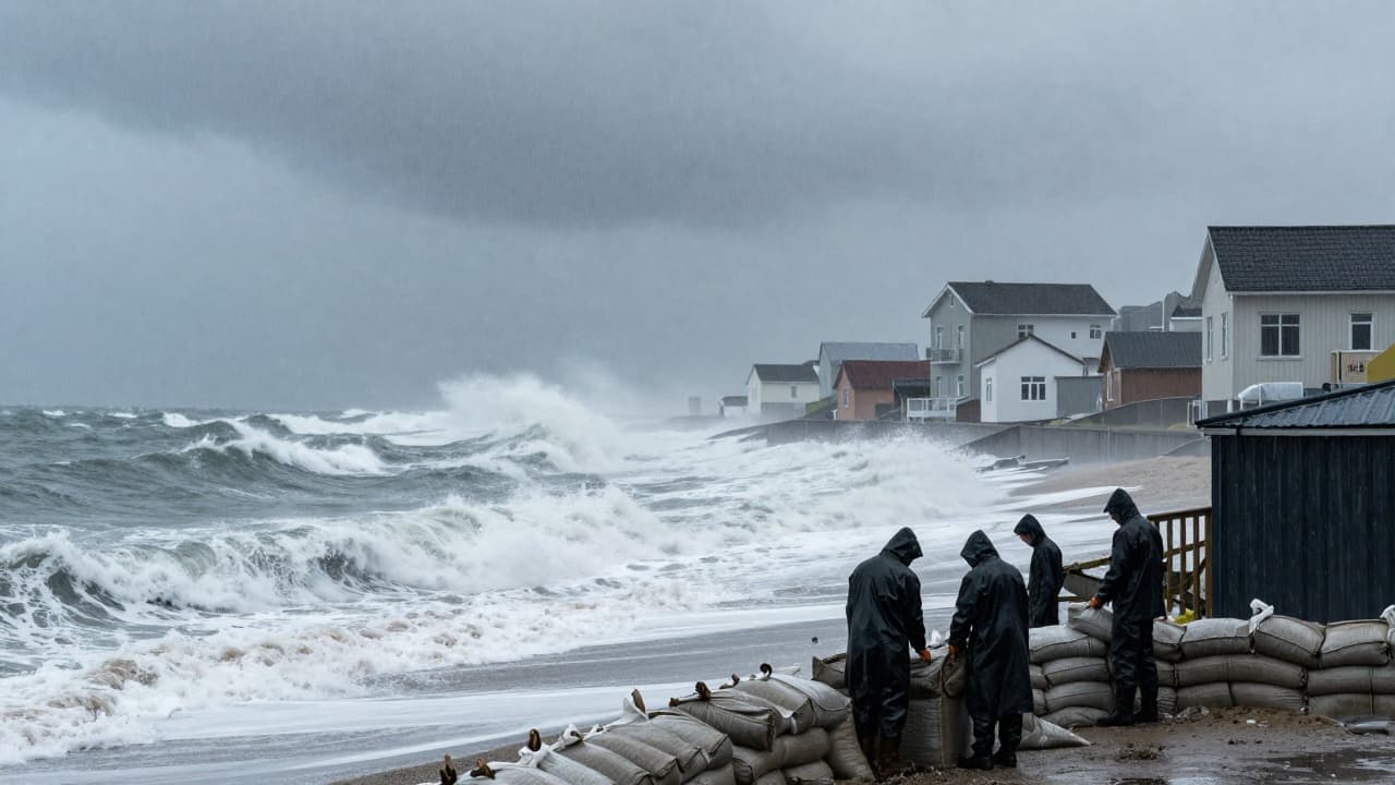
A powerful nor'easter continued to batter the US Northeast on Saturday, bringing heavy rain, strong winds, coastal flooding, and beach erosion. Meteorologists warn that conditions could persist throughout the weekend, with rain and strong winds in parts of New England potentially lasting until Monday.
The greatest threat is to coastal areas from New York to New England. Floods are expected in these areas, along with falling trees and power outages. The US National Weather Service has warned of a prolonged period of strong winds, rough seas, and heavy rain. The Boston office of the service has warned of strong winds and rough seas, with a prolonged period of steady rain across the region over the weekend. Main concerns include beach erosion, coastal flooding, and wind damage, including fallen branches and power outages.
A state of emergency has been declared in affected parts of New York. Governor Kathy Hochul declared a state of emergency for New York City, Westchester County, and the areas of Nassau and Suffolk on Long Island. Warnings are already in place in New York. The meteorological service AccuWeather has reported that winds between 40 and 60 mph (approximately 65 to 97 km/h) are expected along the coast from New Jersey to Maine. In Montauk, New York, and the surrounding area, wind gusts could reach 80 mph (approximately 129 km/h).
By Friday morning, the storm had already affected coastal areas of Rhode Island, Massachusetts, and Connecticut, as well as Long Island, New York. The impacts of the storm are already being felt in North Carolina and along the mid-Atlantic coast, where strong winds, flooding during high tide, and beach erosion have been recorded. The peak of the storm is expected on Saturday. Meteorologists warn that up to 40 million people in several US states could be affected by the storm's impacts.
Between 76 and 127 millimetres of rain is expected in the Boston area, while 50 to 100 millimetres are expected in the state of Maine. The storm could cause significant disruption to air travel, with the Federal Aviation Administration (FAA) warning of potential delays and cancellations of flights across the region.
Meanwhile, three hurricanes are developing over the Pacific. Hurricanes Nolo, Odalys, and Polo brought different impacts on Friday. Nolo threatened Hawaii with catastrophic flooding. It was expected to intensify into a category 3 hurricane as it passed on Saturday approximately 130 km south of the Big Island, though it was not expected to hit land directly. Experts at Accu Weather warned that Nolo would bring five days of heavy rain to the region, with catastrophic flooding and landslides.
Polo strengthened rapidly from a tropical storm to a category 5 hurricane early in the week. On Friday, it was still over the sea, approximately 400 km south-west of the coast of the Mexican state of Jalisco. Its winds, with speeds of around 257 km/h, are likely to cause life-threatening wave heights, strong backwash, and coastal flooding, the National Hurricane Centre in Miami reported. According to forecasts, the storm is expected to change direction and reach land on the Baja California peninsula late Sunday or early Monday, as a significantly weakened hurricane. Odalys, a category 4 hurricane, is forecast to remain over the open sea, with little or no impact on land.
The El Niño phenomenon has contributed to the formation of 18 named storms in the Pacific basin, while having the opposite effect in the Atlantic. In the Atlantic, for the first time since 1914, no hurricane had developed by 21 September. The hurricane season runs until 30 November in both the Pacific and the Atlantic.