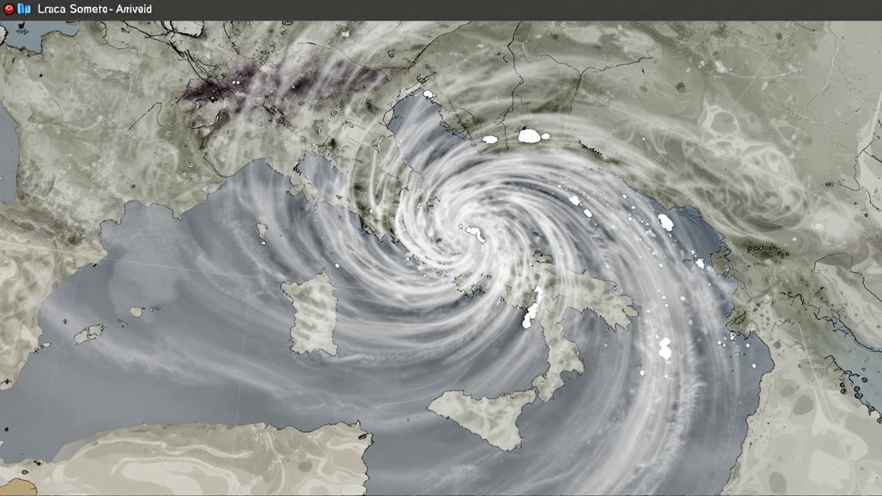
The unusual image, which showed a semi-circular vortex pattern over the territories of Italy, Slovenia and Croatia, attracted public attention after it spread on social media. The image was recorded at 14:30 on the windy portal, and its visual appearance prompted many guesses about the nature of the phenomenon.
The Slovenian Environment Agency (Arso) officially clarified that it is not a real meteorological event. The agency confirmed that the pattern shown is the result of technical interference in the radar data, and stressed that the concentric circles on the radar images represent a relatively common phenomenon in meteorological observation.
According to Arsa, the phenomenon coincided with rainy weather and local storms that affected parts of Slovenia at that time. However, the agency explicitly stated that the pattern shown does not represent actual precipitation or any atmospheric system, but is only an artifact in data processing.
The source of the interference was identified as the Fossalon radar in Italy. Although Arsa could not specify the exact cause of the error, it was estimated that it was most likely related to the measurement process or remote data processing. The exact mechanism that led to the formation of this specific visual pattern remains a mystery.
Meteorologists explain that radar systems scan the atmosphere using an antenna that rotates continuously, measuring precipitation at different altitudes. The computer system then extracts the highest value recorded from all measurements and projects it onto a map, which in the case of technical deviations can lead to the creation of unusual but harmless visual effects.