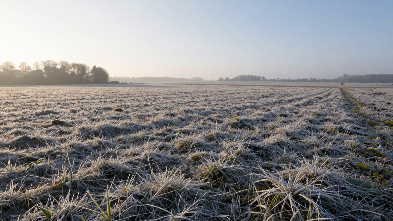
A cold morning in the Knin Plain saw air temperatures at ground level drop to the freezing point. At the agrometeorological station in the Šibenik Metea network, at a height of five centimetres above the ground, 0 °C was recorded, while the minimum air temperature at the standard height of two metres was 1.4 °C.
The difference between these two heights shows how conditions immediately next to the ground can be colder than those described by conventional meteorological measurements. During clear nights, the ground and vegetation lose heat through radiation, cooling the lowest layer of air; with weak winds, there is less mixing of the air, so the cold remains at the surface. In valleys and fields, the drainage of colder air from surrounding slopes further favours this effect, Šibenik Metea explains.
Measurement at a height of five centimetres is particularly important for low vegetation. Grass, young plants and ground-level leaves are located precisely in this colder layer, and their surface can cool below the temperature of the surrounding air. As a result, local frost formation is possible even when the temperature at two metres is still positive.
A reading of 0 °C alone does not confirm that frost occurred across the entire area. The impact on plants depends on how long the cold lasted, whether the plant's own temperature dropped below zero, and the type and developmental stage of the vegetation. Sensitive vegetables, young transplants and tender shoots can suffer damage if their tissues freeze, while more hardy and cold-adapted plants tolerate such conditions more easily. A brief drop to zero does not automatically mean damage to crops.
This morning's values serve as a reminder of the importance of agrometeorological measurements: a positive temperature at two metres does not rule out the possibility of frost immediately next to the ground, where the most sensitive part of the vegetation grows.